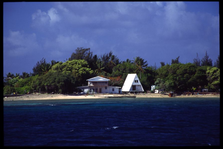
Paula, NX1P will be active from Majuro Atoll, Marshall Islands IOTA OC-029 as V73XP.
She will operate in CQ WW DX CW Contest 29-30 November 2014 in LP or QRP Category.
A Pearl in the Pacific ocean waiting to be explored
An average traveler would find that Majuro provides a beauty, charm and a hospitability that makes it the ideal destination point for a wonderful vacation with family. Majuro is a large coral atoll that stradles the North Pacific like a shining pearl oyster. Mother Nature has been bountiful in the way she has designed the atoll, which has a beautiful oval shape ringed by a lagoon which is 295 sq km in size. The land size of the atoll is roughly 9.7sq km; typically like all the Atolls in the Marshall Islands it is made up of narrow land masses. Majuro is also the Capital and largest city of the nation of the Marshall/Islands, that got its independence in 1986.
Some Historical facts
It is an established fact that humans have inhabited this atoll for around 2000 years. In 1884 the Empire of Germany laid claim to this atoll and the rest of Marshalls Island, and took a step further by setting up a trading outpost at Majuro. Being a centrally located island in the midst of the Pacific Ocean with a large lagoon area it offered the twin advantages of having a trading outpost and also a strategic advantage in military terms. During World War I, the imperial Japanese Navy in 1914 captured Majuro and the rest of the Marshalls Island from German control and had it mandated to the Empire of Japan at the League of Nations in 1920. During the Japanese occupation of this Island group, they left the administration of the local affairs in the hands of the traditional local leaders and did not interfere in their day to day activities. In January 1944 the U.S. forces invaded the island and captured it from Japanese control. This single action of the U.S. helped them to gain considerable advantage as their Navy now had the use of one of the biggest anchorages that could be found in the Central Pacific, and functioned as the most highly active Port during WW II up to the point the war theatre moved westwards. The Marshall Islands remained under the United States control until 1986 when the Island Nation got its independence

Geography
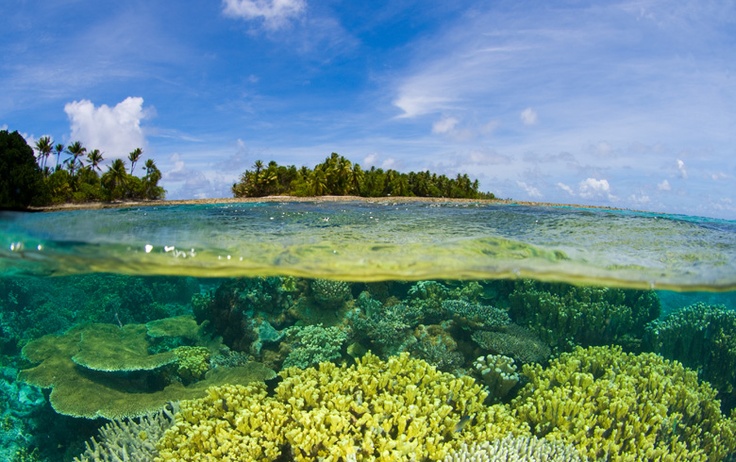
The Marshall Islands is located midway between Hawaii and Australia in the Northern Pacific. The blue waters of the islands are richly endowed with about eight hundred typees of fish that inhabit its waters and are home to onehudred sixty species of coral. Since most of these islands rise only a few feet above the sea level the landscape of the island is sandy. The island chain is well known for a number of shipwrecks during World War 2 and provides another new attraction for scuba divers and snorkeling activities.
At the western end of the Majuro Atoll is the island community of Laura, which is 48 kms by road from the islets Delap-Uliga-Djarrit (D-U-D), which is a growing residential area and boasts of a popular beach that is highly frequented. Laura also happens to be the highest elevated area in the Atoll found at 10 ft. from the sea level. The islet of Djarrit is basically residential in nature and has no specific scenic beaches that tourists would likely visit.

Demography
Majuro which is the capital of the Republic of Marshall Islands has a population of around 30,000 and is the largest city in the island Republic, followed by (Kwajalein Atoll) Ebaye, (Arno Atoll), (Jaluit Atoll) Arno Jabor and Wotje (Wotje Atoll). The majority populations are Christians who mainly follow the United Church of the Christ. The Cathedral of the Assumption is located in Majuro. The Ahmadi Muslims who live in the Atoll are a sizable community, and their influence has been growing over the years. The official language spoken is Marshallese by 98.2% of the population with the balance 1.8% using other languages. According to ethnic groups Marshallese comprise 92.1% of population, mixed Marshallese 5.9% and others 2%.
Climate
located slightly North of the Equator Majuro Atoll enjoys a tropical climate with temperatures averaging above 21 ̊Celsius; the highest temperature experienced in the Atoll is during the period July – October when it hovers between 30.1 ̊̊C – 30.3 ̊C, the average low temperatures experience during the year varies between 24.8 ̊C – 25 ̊C. The Atoll experiences good rainfall during June – December ranging between 292mm – 338mm rainfall, with the highest rainfall recorded during the month of October(361mm); rainfall during January – March is moderate ranging between 180mm – 208mm, with the lowest during May (180mm).

Tourism
The Majuro Atoll with its pristine beauty provides tourists with boundless opportunities for undertaking water activities such as snorkeling, scuba diving and other outdoor recreations. The Eneko Island which is situated 45 minutes away from Uliga by boat is a highly popular destination which can be visited during day trips and should not be missed; Laura Beach is another favorite destination for tourists. Majuro also acts as a stopover to go to other island Atolls such as jaluit Atoll and Bikni Atoll.
The Amata Kabua International airport on the south side of the Majuro Atoll services both domestic as well as international flights, with the United Airlines providing thrice weekly service from Honolulu, and nonstop flights from Guam on the remaining week days. The other airlines that operate here are Air Marshall Islands, Our Airline and Asia Pacific Airlines. Of these, Air Marshall Islands airlines provide internal flights to all the inhabited Atolls once a week; it flies every day between Majuro and Kwajalein except on Thursdays and Sundays. The Atoll is also easily accessible by sea since its lagoon acts as a harbor for cruisers, luxury yacht and commercial fishing vessels and sport and commercial fishing vessels etc. One will also find that most of the Road from Rita to Laura are paved and consists of a single two way lane road. For moving around the island one can either higher a motorbike or car and can use the taxi service or Bus service.
As a small Atoll one can explore a large part of the island by foot; except, when wanting to go to Laura beach. It is ideal to use the bus service to go to Laura Beach as it costs only $2 for a round trip back, whereas the taxis would be very costly. Alternatively one can hire rental cars at $60 per day. It is a great place to do hitchhiking.
Video Diving Majuro Atoll, Marshall Islands

