3C2MD Team will be active from Bioko Island, IOTA AF - 010, Equatorial Guinea, 29 October - 10 November 2025.
Team - I8KHC, IZ2GNQ, F6IRA, OK2WX, AG4W, DL8JJ, IU3PMA, DL6KVA, GI4DOH, YO8PS, IU2EFB, KB2FMH, DL6LZM, IU4HRJ, HB9DHG, IZ4UEZ.
Recent DX Spots 3C2MD
3C2MD Log search They will operate on 160 - 6m and also EME and QO - 100 satellite.
QSL via IK2VUC.
Bioko Island, land of unpredictable weather
Bioko Island is located in the waters of the Gulf of Biafara, part of the Atlantic Ocean's Gulf of Guinea. The island is owned by Equatorial Guinea, a state in mainland Africa. In this case, there is an interesting exception, because the capital of this state, the city of Malabo, is located on the island of Bioko, which has an area of 2017 km², which is only 7% of the total area of the country, but the 260-thousand population of the island is more than a third of all its inhabitants. The island part of the country is separated from the coast of the continent by about 160 kilometers. The equatorial position of Bioko determines another local natural peculiarity - sunrise and sunset fall at almost the same time, and all year round. Often travelers are not able to anticipate weather metamorphoses, so they are caught unawares by the rains.
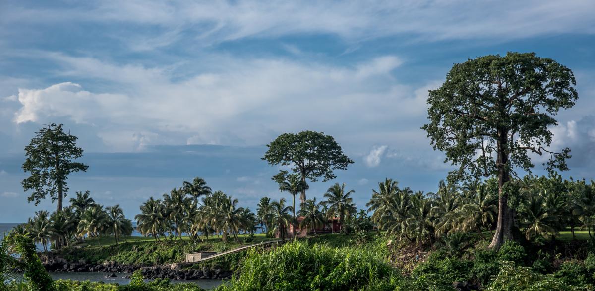
 Bioko Island, Equatorial Guinea. Author - Richard Roberts.
New orders - new names
The discovery of the island by Europeans falls on 1471. It was then that the Portuguese traveler Fernando Po gave the new territory the name Formosa. Years passed, and in memory of the discoverer it was decided to change the name of this piece of land to a more sonorous one - Fernando Po. But when the campaign to replace European toponyms with local ones began on the islands of Africa, the name was transformed again for political reasons and turned into Macias-Nguema-Biyogo. This happened in 1973 to immortalize the name of the country's first president. After six years, when the said leader was ignominiously deposed, the name change was again considered. Since 1979, the island territory has been known to the current generation of tourists as Bioko.
Facts about the capital
There are only two cities in Equatorial Guinea with populations over 100,000. One of them is the capital Malabo (187 thousand), but in terms of the number of inhabitants it is inferior to the city of Bata (250 thousand), located in the mainland of the country. Despite the detachment from the big land Malabo holds the status of a national commercial center. The economy of the city is closely connected with its seaside position. The port of Malabo is recognized as one of the deepest in the region, and its dock is designed to handle several ships at a time. In 1970, the population of the center was only 37 thousand, but thanks to the discovery of oil fields in the 80's of the last century, the number of people wishing to settle in it has increased dramatically, as a result, in recent decades the number of permanent residents of the city has increased 5 times.
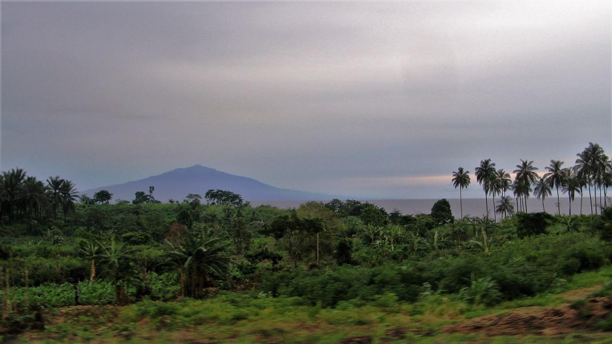
 Bioko Island, Equatorial Guinea. Author - Normann.
Conjoined volcanic heads
The origin of the island is volcanic. With a length of 70 km and an average width of 30 km, it resembles an angular valenok, and if you look at a large-scale physical map, in the southern part of this “valenok” clearly visible three craters of extinct volcanoes, which merged into a single volcanic massif with well-defined funnels. The entire geological structure is part of the ancient Cameroonian volcanic line, extending from the Gulf of Guinea to the coast of Cameroon, and then goes deep into Africa. Researchers claim the island is 18-19 million years old.
The highest point of Bioko and the whole of Equatorial Guinea is Mount Pico Basile (formerly Santa Isabel) with a height of 3008 meters. It is part of a mountain range located several tens of kilometers to the north of the conjoined volcanoes, but all those who climb to its summit can see the largest of the mentioned trio of basalt volcanoes without binoculars. And if from the height of Pico Basile to the northeast, then in the distance can be seen active volcano Cameroon, and this is already the territory of a completely different country with the same name.
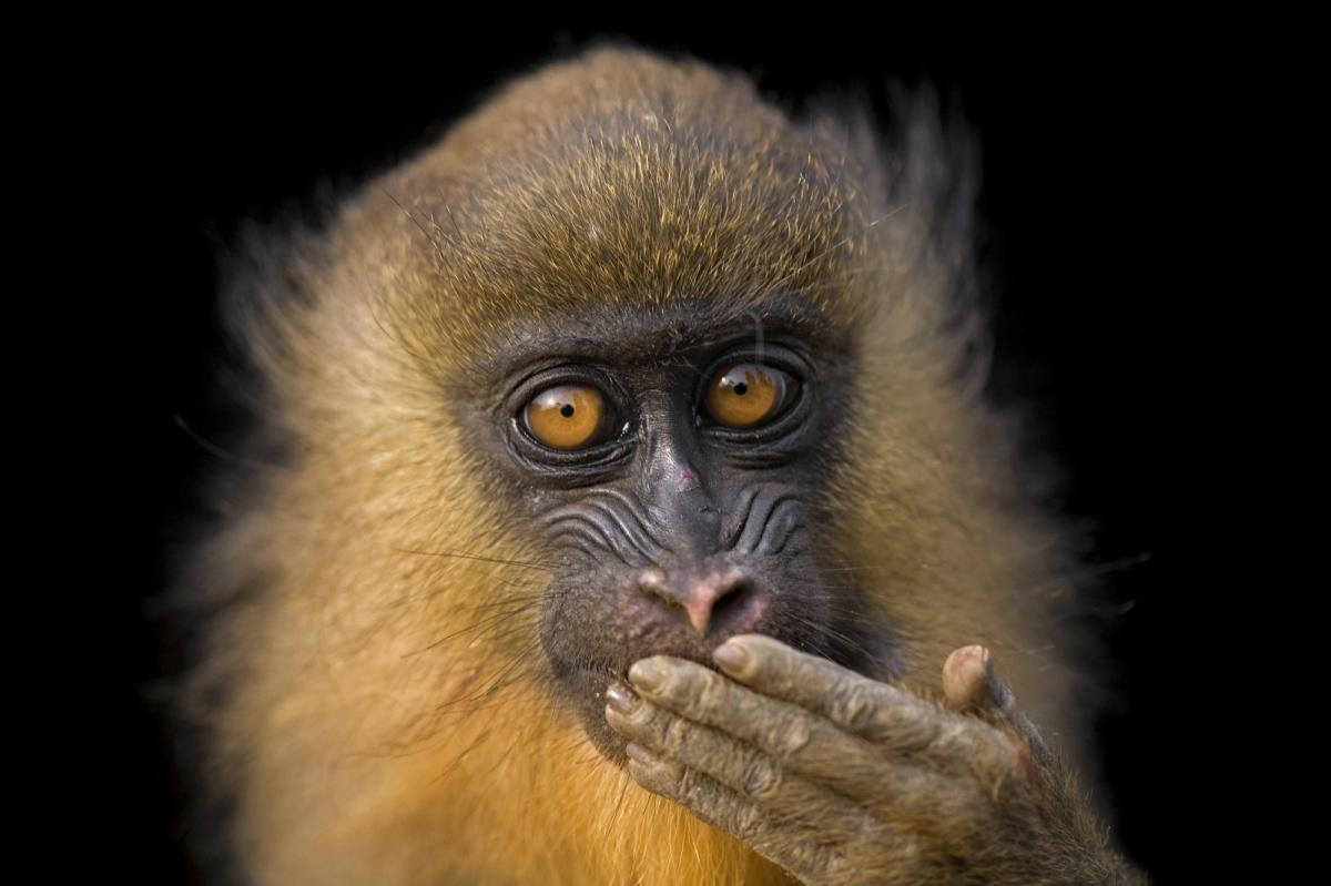
 Bioko Island, Equatorial Guinea. Author - Joel Sartore.
The undisguised wealth of equatorial Africa
The equatorial climate prevents anything and everything from drying up on Bioko, as up to 2,500 mm of rainfall pours from the sky in a year. Masses of evergreen equatorial forests are preserved in the mountains. This is where 12 species of primates can be found. Two species of monkeys are an exceptional treasure as they are found nowhere else except Bioko. It is difficult to see predators on the island, as they are almost absent, which favors the numbers of other animal species.
As it turned out, not only trees grow well on the micronutrient-rich soils of the island, but also vines, which cause a lot of problems for farmers. It is crucial to monitor their spread, as grapes quickly suppress entire cacao plantations.
Beach and cultural resources
Beach conditions on Bioko are not ideal, and the reason for this is the nature of the coastline. For the most part, the shores are rocky, and there are very few cozy bays and harbors. Some parts of the coast can be called unapproachable without exaggeration. Tourists come mainly to the beaches of the northern part of the island; there are several of them, and they are also very spacious. In some places it is the most suitable conditions for windsurfing. The few divers are somewhat limited in their opportunities, as they have to make do with the grottoes and caves of the coastal part of the island.
In the capital Malabo you can visit the ruins of fortifications built by the Portuguese. There are also many other monuments of the colonial past, several museums, an oceanarium and a luxurious presidential greenhouse.
Additional info about Ecuatorial Guinea Thanks to EA4BB:
Portugal controlled Fernando Po until 1778, after which it passed to Spain. Under the treaties of San Ildefonso and El Pardo, Lisbon ceded the island and mainland territory of the Rio Muni to Madrid in exchange for recognition of southern Brazil as the Portuguese colony of Sacramento.
Between 1810 and 1820, Fernando Po was invaded by Britain. In 1827, the British laid out the town of Clarence Town (modern Malabo), which became the capital of the local British possessions.
In 1855, the Spanish recaptured Fernando Po and renamed Clarence Town to Santa Isabel. By then the town had become an important commercial center with a population of about a thousand.
In 1856 they also reclaimed the mainland, although it was of less interest to Madrid than the island. After the defeat in the war with the United States in 1898, the Spaniards made an attempt to strengthen themselves on the continent: so, in 1900, the boundaries of the Spanish Rio Muni were finalized.
The colonization of Equatorial Guinea had many negative consequences for the locals. The Spanish established tight control over the islands of Fernando Po, Annobon and Corisco and suppressed any attempts at resistance. They exploited the natural resources of the region with little concern for the welfare of the inhabitants. This led to a worsening economic situation, increasing poverty and inequality.
The Catholic Church, which had held a monopolistic position since 1858, was the agent of domestic policy. Unlike the Latin American possessions, the local colonial authorities disapproved of mixed marriages, which never became a political tool for integrating Guineans into Spanish society. On the other hand, the population maintained a certain independence and did not embrace Christianity (especially in areas far from the coast).
In 1926, Madrid consolidated its colonial possessions in the Gulf of Guinea - Rio Muni and the islands of Fernando Po, Elobey, Annobon and Corisco - into a single entity called Spanish Guinea (Spanish: Guinea Española).
The Spaniards did not develop the infrastructure of the colony, but planted cocoa plantations on Fernando Po. Thousands of laborers from British Nigeria were brought there for their cultivation.
In 1931, the Spanish monarchy was deposed and Spanish Guinea became part of a new state with a republican form of government. In July 1936, when civil war broke out in the metropolis between republicans and nationalists, the colonial administration remained loyal to the republican authorities. On September 18 of that year, however, the Colonial Guard rebelled on Fernando Po. The rebels, who sided with coup organizer General Francisco Franco, an opponent of the Republicans, took control of the island. Another month later, on October 14, they landed on the mainland and seized the entire colony.
STRUGGLE FOR INDEPENDENCE
In the second half of the 20th century, against the backdrop of the growing national liberation movement in African countries, Madrid went in the direction of denying the facts of racism and exploitation of the population in its colonies. To contain the growth of anti-colonial sentiments, the Spanish authorities used the tactic of administrative fragmentation of territories and playing on the contradictions between different ethnic groups. To this end, in 1959, the single colony was divided into two provinces, Fernando Po and Rio Muni, each of which was given the right to have three representatives in the local legislative bodies, the Cortes. In the same year, the Spanish possessions in the Gulf of Guinea were granted the status of overseas territories under the name “Equatorial Region of Spain”.
Official Madrid failed to prevent the anti-colonial struggle. At the turn of the 1950s and 1960s, several political groups emerged: National Liberation Movement of Equatorial Guinea - MONALIGE, “Popular Idea of Equatorial Guinea” - IPGE, Movement for the National Unification of Equatorial Guinea - MUNGE, which called for the struggle against the colonizers. Under these circumstances, Madrid, trying in every possible way to maintain control over its last colony, in 1963 transformed the Equatorial Region of Spain into Equatorial Guinea with limited autonomy.
In the second half of the 1960s, the local national liberation movement gained international support. On December 16, 1965, the UN General Assembly reaffirmed Equatorial Guinea's inalienable right to sovereignty and called on Madrid to grant it independence.
Under UN pressure, the Spaniards held a referendum on the draft constitution and presidential elections in the country in 1968. Following the plebiscite, general elections were held on September 22 of the same year, during which the National Assembly (parliament) and the president were elected (in a second round on September 29).
The official declaration of independence took place on October 12, 1968. Spain immediately recognized the new State and established diplomatic relations with it.

