3C3W Team will be active from Bioko (Fernando Po) Island, IOTA AF - 010, during September 2025.
Team members - YL2GM, EA5EL.
Recent DX Spots 3C3W
3C3W Log search They will operate on 160 - 6m Bands.
QSL via YL2GN, ClubLog OQRS, LOTW.
Ads for direct QSL:
Ziedonis Knope, P.O.Box 55, Balvi, LV-4501, Latvia.
DXCC Country - Equatorial Guinea 3C.
3C3W Bioko Island News
3C3W story Author YL2GM.
https://dxnews.com/upload/files/3c3w-story.pdf
Bioko Island – a land of unpredictable weather
Bioko Island is located in the waters of the Biafra Bay, which is part of the Gulf of Guinea in the Atlantic Ocean. The island is owned by Equatorial Guinea, a country on the African mainland. This is an interesting exception, as the capital of this state, the city of Malabo, is located on Bioko Island, which has an area of 2017 km², accounting for only 7% of the country's total area, while the island's population of 260,000 is more than a third of the country's total population. The island is separated from the mainland by approximately 160 km. Bioko's equatorial location is responsible for another local natural feature: the sun rises and sets at almost the same time every day, all year round. Travelers often cannot predict weather changes and are caught off guard by rain.
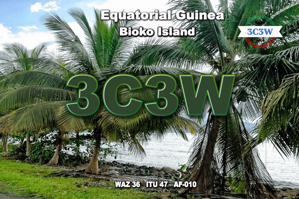
 3C3W. Bioko Fernando Po Island. QSL Card.
New rules – new names
The island was discovered by Europeans in 1471. It was then that Portuguese explorer Fernando Po named the new territory Formosa. Years passed, and in memory of the discoverer, it was decided to change the name of this piece of land to something more sonorous: Fernando Po. But when a campaign began in the African islands to replace European place names with local ones, the name was changed again for political reasons and became Masias Ngema Biyogo. This happened in 1973 to immortalize the surname of the country's first president. Six years later, when the aforementioned leader was ingloriously overthrown, the idea of changing the name was raised again. Since 1979, the island territory has been known by the name by which it is known to the current generation of tourists: Bioko.
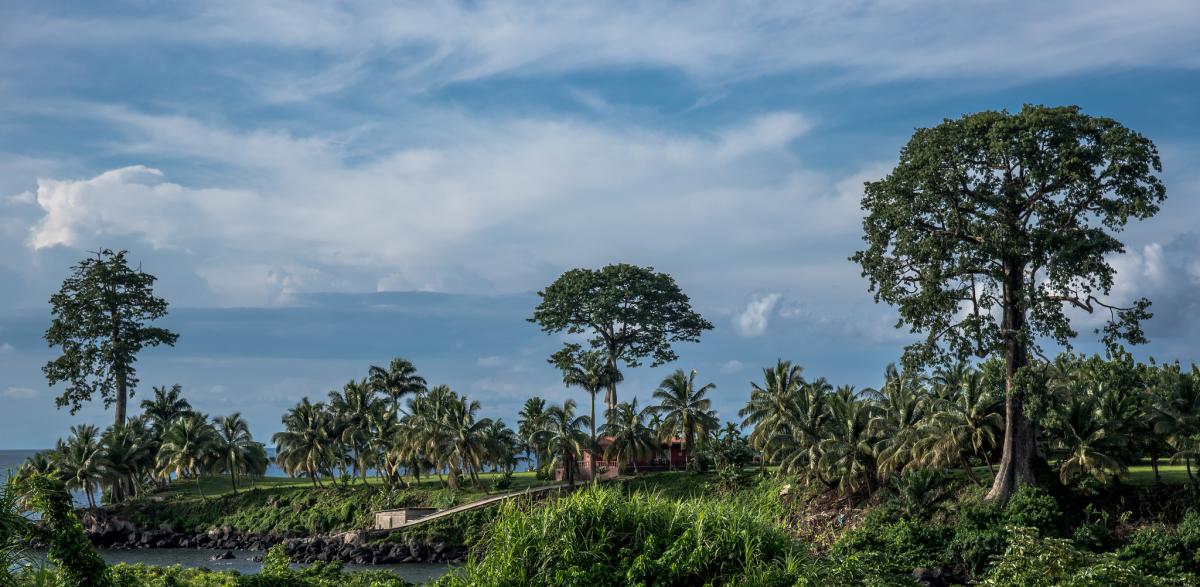
 Sipopo, Bioko - Fernando Po Island, Equatorial Guinea. Author - Richard Roberts.
Facts about the capital
Equatorial Guinea has only two cities with a population of over 100,000. One of them is the capital Malabo (187,000), but in terms of population, it is surpassed by the city of Bata (250,000), located on the mainland.
Despite its isolation from the mainland, Malabo retains its status as the national commercial center. The city's economy is closely linked to its coastal location. The port of Malabo is recognized as one of the deepest in the region, and its dock is designed to serve several ships at the same time. In 1970, the population of the city was only 37,000, but thanks to the discovery of oil fields in the 1980s, the number of people wishing to settle there rose sharply, resulting in a fivefold increase in the number of permanent residents over the past decade.
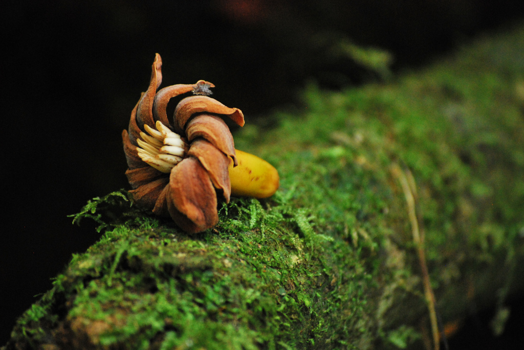
 Moka, Bioko - Fernando Po Island, Equatorial Guinea. Author - Rachael DiSciullo.
Fused volcanic heads
The island is volcanic in origin. With a length of 70 km and an average width of 30 km, it resembles an angular felt boot, and if you look at a large-scale physical map, three craters of extinct volcanoes are clearly visible in the southern part of this “felt boot,” which have merged into a single volcanic massif with well-defined craters. The entire geological structure is part of the ancient Cameroon volcanic line, stretching from the Gulf of Guinea to the coast of Cameroon and further into Africa. Researchers claim that the island is 18-19 million years old.
The highest point of Bioko and all of Equatorial Guinea is Mount Pico Basile (formerly Santa Isabel), with an elevation of 3,008 meters. It is part of a mountain range located several dozen kilometers north of the conjoined volcanoes, but anyone who climbs to its summit can see the largest of the three basalt volcanoes without binoculars. And if you look northeast from Pico Basile, you can see the active volcano Cameroon in the distance, which is located in a completely different country of the same name.
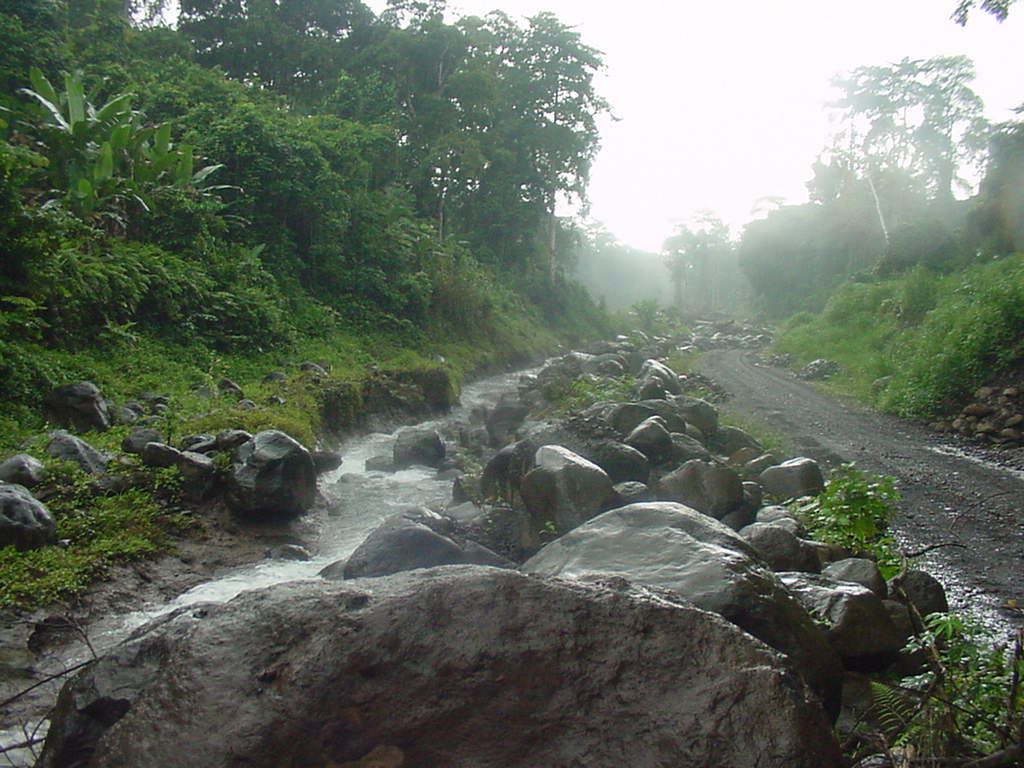
 Paco River, Bioko - Fernando Po Island, Equatorial Guinea. Author - Kevin.
The undisguised wealth of equatorial Africa
The equatorial climate prevents anything and anyone from drying out on Bioko, as up to 2,500 mm of rainfall falls from the sky each year.
The mountains are home to vast areas of evergreen equatorial forests. This is where you can find 12 species of primates. Two species of monkeys are unique to Bioko, as they are found nowhere else. Predators are rare on the island, which has a positive effect on the population of other animal species.
As it turns out, the island's micronutrient-rich soil is not only good for trees but also for grapevines, which cause farmers a lot of trouble. It's super important to keep an eye on how they spread, as grapes can quickly take over whole cocoa plantations.
Beach and cultural resources
The conditions for beach holidays on Bioko cannot be called ideal, due to the nature of the coastline. Most of the coast is rocky, and there are very few cozy bays and harbors. Some parts of the coast can be described as inaccessible without exaggeration. Tourists mainly come to the beaches in the northern part of the island, where there are several spacious beaches. In some places, the conditions are ideal for windsurfing. The few divers are somewhat limited in their options, as they have to make do with the grottoes and caves of the island's coastal area.
In the capital, Malabo, you can visit the ruins of fortifications built by the Portuguese. There are also many other monuments to the colonial past, several museums, an aquarium, and a luxurious presidential greenhouse.

