NA2U will be active as KH7M from Hawaiian Islands in CQ WW DX SSB Contest, 25 - 26 October 2025.
He will operate in Single Operator All Band Category.
Recent DX Spots KH7M
QSL information:
USA/Canada via KH6ZM.
Ads for direct QSL:
MASSIMO A ZENOBI, PO BOX 878, VOLCANO, HI 96785, USA.
For all others via I0MWI.
Ads for direct QSL:
STEFANO CIPRIANI, VIA TARANTO 60, I-00055 LADISPOLI RM, Italy.
The Hawaiian Islands - “running” on the waves of the Pacific Ocean
The Hawaiian archipelago, with an area of more than 16,600 km2, consists of 24 islands of volcanic origin, as well as several atolls and reef formations. It is located in the northern region of the Pacific Ocean and lies 3,600 km west of the United States. Most of it makes up the 50 U.S. states.
The western islands are much smaller than their southeastern “brethren” - Oahu, Kauai, Maui - and were formed much earlier as a result of the uplift of volcanic ridges from the ocean floor. A remarkable fact: the entire Hawaiian archipelago is located in the zone of active displacement of the Pacific lithospheric plate, sliding over the upper layer of the mantle. This leads to the fact that the Hawaiian Islands “rush” at a rate of about 51 km/1 million years in the direction of the Asian continent. In 60-70 million years, the entire archipelago may dock and anchor on the mainland.

Cook's Hawaiian Epic
The archipelago began to be settled by natives of the Marquesas Islands as early as the 4th century A.D. After 1,000 years, the Polynesians who came to Hawaii were displaced by tribes from Tahiti. They made more sophisticated weapons and had a complex social structure. By the 18th century, 4 independent kingdoms had formed on the islands, fighting each other for control over the entire archipelago.
In 1778, Englishman James Cook, who was searching for a convenient sea route to Asia, noticed lands unknown to Europeans. The navigator was received with honors by the locals, who took him for a deity returning with gifts. However, when Cook landed on these lands six months later, the Hawaiians considered it an unkind sign. An armed skirmish ensued and the captain was killed.

Sugar cane and a Russian fortress
In 1810, Chief Kameame managed to unite the disparate tribes and form his kingdom. In 1816, Fort Elizabeth was erected on the island of Kauai, but plans to annex the islands to the Russian Empire were not destined to come true. In the mid-19th century, the U.S. began to actively develop the archipelago, bringing workers from Korea, China and the Philippines to grow sugar cane. This led to mass clashes with the local population and infection of the islanders with previously unknown diseases.
In 1898, the U.S. forcibly annexed the Hawaiian Islands to its territory, and in 1908 a naval base for the Pacific Fleet was established in the port of Pearl Harbor. In 1959, most of the territory of this archipelago became the 50th U.S. state.

Snow over volcanic vents
The Hawaiian archipelago is formed by young active volcanoes. The Big Island (Hawaii) consists of 7 such fiery mountains. Mauna Loa occupies more than half of its territory (5200 km2), and the highest volcano in the entire archipelago is Mauna Kea (4206 m).
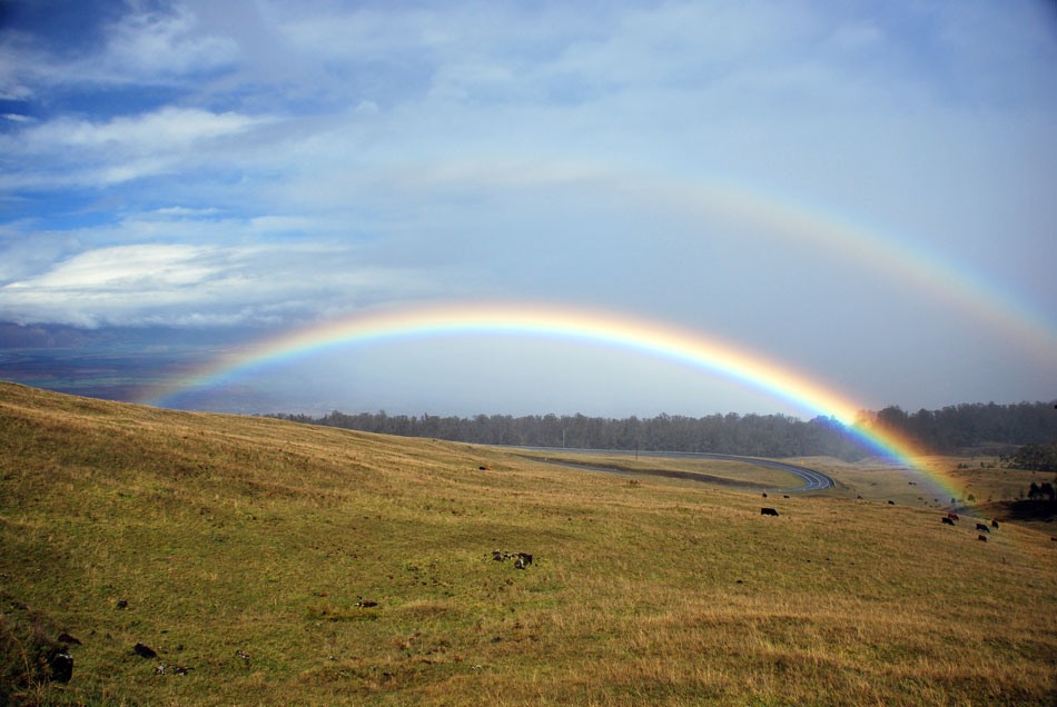
The climate of Hawaii is formed under the influence of trade winds blowing in the northwest direction. The greatest amount of moisture falls on the eastern coast of the archipelago. During the year there falls up to 4000 mm of precipitation, and on the slopes of volcanoes in December-February you can see a blanket of snow. A spectacular sight!
Temperatures reach +28-31 C° in summer and +17-20 C° in winter. The southern shores are more arid. In June and October the islands are often hit by hurricanes coming from Mexico. The northern coast of the islands is often stormed by tsunamis formed due to earth tremors and volcanic activity on the ocean floor.
Away from the rest of the world
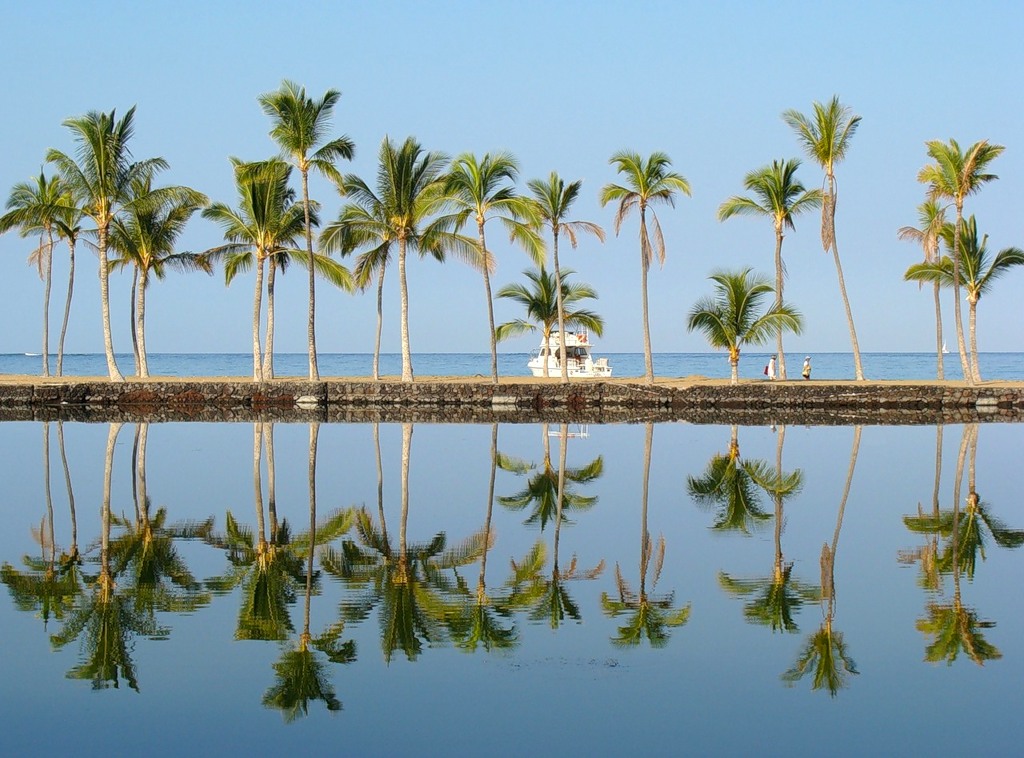
For over 70 million years, the Hawaiian Islands have existed in isolation, increasing the diversity of their plant and animal life. With the arrival of humans on these shores, over 80% of endemic species were wiped out. Today, only the eastern, windward slopes are occupied by tropical forests: ferns and coconut palms, siltworts, orchids and branching pandanus are perfectly adapted to the humid maritime climate.
The southern and western shores of the islands are arid and the local flora is mainly savannah plants: grasses and thorny shrubs.
Aloha!
There are less than 1.5 million people living in Hawaii and only 10% of them are Hawaiians. About 1/3 are of Asian descent, as well as mestizo and European descendants. The main city, Honolulu, is located on the island of Oahu. Other large centers are Kaneoha, Hilo. The whole state occupying the most part of the archipelago is officially called the Aloha State.
The economy of Hawaii is based on tourism, sugar and canning industries, as well as the service sector. Rice, nuts, guava, fragrant coffee and golden pineapples are exported. The archipelago also attracts ecotourists who can see rare plant species in one of the national reserves. Haleakala Park on Maui offers a rare opportunity to watch lava flows move across the mountainsides.
The Hawaiian Islands are an “escaping” archipelago in the Pacific Ocean!

