Nobu, JA0JHQ will be active as PZ5NH from Suriname, 7 - 14 December 2023.
He will operate on HF Bands, CW, SSB, FT8.
Recent DX Spots PZ5NH
QSL via home call direct or LOTW.
Ads for direct QSL:
Nobuaki Hosokawa, 8270 Fujimi, Fujimi-cho, Suwa-gun, Nagano, JAPAN, 399-0211.
Suriname - an undiscovered world of natural treasures
The state of Suriname with a population of 586 thousand inhabitants is localized in equatorial latitudes and is a part of the South American continent. More precisely, it is the northeast of South America, a small, sun-warmed stretch of land between French Guiana in the east and Guyana in the west. Its largest geographical neighbor is Brazil, with which Suriname shares a border to the east. There is another name for this administrative-political entity - Dutch Guiana, but it is unofficial and is used less and less often. It can be explained by the events of 1975, when the country declared independence from Holland. Decisively breaking the connection with the past, the state at the same time changed its name to Surinam, derived from the name of one of the local tribes. Suriname's special and underdeveloped natural heritage is the 386 km long coastline bounded by the Atlantic Ocean.
 Suriname. Author - Carlos Eduardo Colmenarez.
Threads of history
Even before the arrival of Europeans in 1499 as part of Alonso de Ojeda's maritime expedition, Suriname was inhabited by Arawaks and Caribs. The first colony of representatives of the Old World was founded there in 1551 by Dutch traders. Toward the end of the 16th century, Suriname was conquered by the Spanish. Suriname was conquered by the Spanish and then in 1630 by the English. It is interesting that later in a dispute with the Netherlands England decided to exchange the new colony for the city of New Amsterdam, now called New York, and it happened in 1667. The territory has been known as Dutch Guiana since 1866, when after a number of political twists and turns it was once again recognized as a Dutch colony. Since 1922 Suriname was for some time called "annexed territory of the Kingdom of the Netherlands". The year 1954 was marked by autonomy. After declaring independence in 1975, the country experienced a coup five years later and a guerrilla war six years later, at the end of which the sprouts of democracy gradually began to sprout.
Ethnic excursion
The country's ethnic diversity is not least due to the abolition of slavery in 1863. This marked the beginning of a massive importation of labor from many Asian countries. Even earlier, during the colonial period, the population of Suriname was actively supplemented by the importation of slaves from various parts of Africa. Nowadays the descendants of slaves who once managed to escape from their owners live along the banks of the Maroon River. And if tourists plan to go on an excursion, then in most cases the route passes through the places where these people live.
Today, of all the people living in Suriname, about 27.5% are Indian, 22% are Maroons or Forest Negroes, 16% are Creoles, 14% are Javanese and a number of other ethnic groups. More than 20 languages are spoken in Suriname and Dutch remains the official language. The population professes different Christian religions (73%), Hinduism (22%), Islam (14%), but the number of those who consider themselves atheists is surprising - 7.5%.
Different ethnicities - different cultures, which is most vividly reflected in local festivities. It seems that the population manages not only to coexist without problems, but also to celebrate holidays of Christians, Muslims, Hindus and Indians together with such a scale that our compatriots envy. On New Year's Eve, for example, celebrations can last up to a month.
 Suriname. Author - Leo Koolhoven.
What is more valuable than money
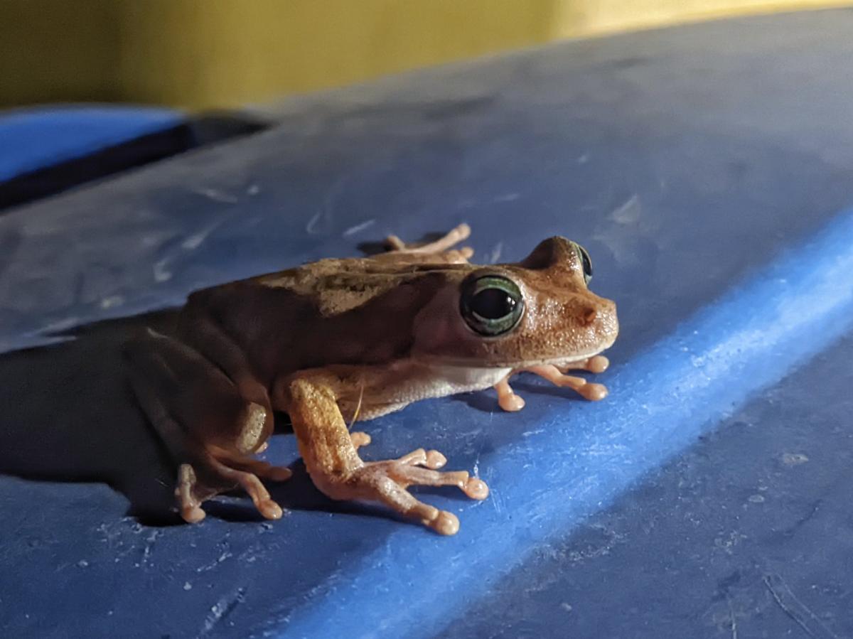
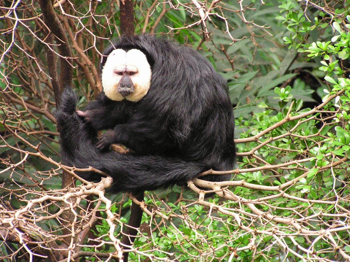
Tropical forests, hiding in their thickets many rare fauna, cover more than 96% of the state's area. Importantly, they are mostly untouched, so they have retained their uniqueness and attract both ordinary nature lovers and scientists. Someone wants to see long-tailed cats, harpy eagles, huge water otters or a great variety of ants, of which there are as many as 149 species. And someone is interested in green turtles that live in protected areas and lay eggs every year.
The law protects 11 protected areas within the country, where about 5000 plants grow. The Central Reserve of Suriname covers 16,000 square kilometers, making it unique not only in the region but also in the world. Although the authorities designate special protected areas, it is safe to say that the whole country is a natural gem, within which are intertwined tropical forests, mountain ranges, savannahs, exotic reserves and natural parks. In a few days of traveling through these places, the number of strong, bright and unique impressions will exceed even the most daring expectations. And this is if you do not take into account the beauty of the Atlantic coast lined with clean and sparkling sand.
Course to Paramaribo
The capital city of Paramaribo with a population of 250 thousand people enjoys special attention of tourists. Here is located the largest of 46 airfields of the country, receiving planes of foreign companies, the most luxurious hotels and the best entertainment centers are built. In the capital there is the National Training Center represented by the only university in the state. The city center is protected by international laws and is under the protection of UNESCO. The urban architecture of Pramaribo is a harmonious succession of bulky colonial buildings, wooden structures, narrow streets, grassy squares and even mangrove plantations in the coastal part of the city.
If a visitor is in Suriname's central city, it would be a kind of disrespect to overlook some of the historical sites. Quite well preserved pentagonal shape fortress Fort Zealand, which has become a museum, was laid in XVII century for the defense of the Dutch settlement. Not far from Paramaribo is no less interesting to see Fort "Nieuw Amsterdam" - another pentagonal fortress, the construction of which was completed in 1747. It originally protected the Dutch colonists from invading ships of the invaders. In addition to the National Museum of Suriname, there are a number of other highlights, including the Neve Shalom Synagogue, the Palm Garden and the Jules Weidenbosch Bridge, which is one of the largest on the mainland.
 Suriname. Author - Johny El-Rady.
Inexhaustible potential
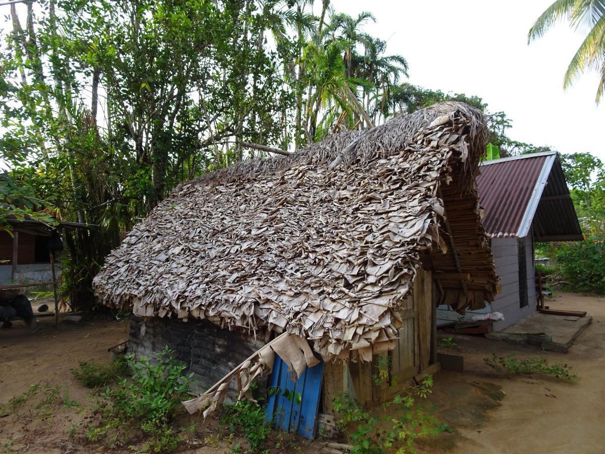
The capital's level of tourist infrastructure cannot be called very high, but it must be said that the potential for development is limitless, not only in Paramaribo, but also in the country as a whole. Although the ocean shore is very beautiful and rich in interesting natural objects, it is poorly developed. Tourist traffic is mainly directed along the banks of the Suriname River, where many tourist attractions are concentrated. Often tourists are offered to visit local villages with atypical for Europeans way of life, which is reflected in almost every detail of everyday life of any family.
The land of aluminum
Suriname's economy is based on the mining and export of bauxite and alumina. By selling alumina abroad, the country receives more than 70% of foreign exchange earnings. A significant part of the budget "pie" is profit from the export of crude oil and gold. Fruit, shrimp, timber and rice are also export commodities. The current economic imbalance is gradually being equalized thanks to foreign investment and assistance from the European Development Fund.

