C21MM Team will be active from Nauru Island, IOTA OC - 031, 11 - 27 October 2024.
Team - DG2RON Ronny, DJ5IW Gerd, DJ7TO Olaf, DJ9KH Werner, DK3CG Rudolf, DK5WL Joe, DL1KWK Frank,DL2RNS Norbert, DL4SVA Georg, DL6KAC Christian, DL6KVA Axel, DL7JOM Olaf, DL7VEE Rolf, DL8LAS Andree.
Recent DX Spots C21MM
C21MM Log search They will operate on 160 - 6m, CW, SSB, Digital modes.
Planned operating freqs:
| Band | CW | SSB | RTTY | FT8 |
|---|---|---|---|---|
| 160m | 1.822,5 | - | - | 1.839 |
| 80m | 3.533 | 3.805 | - | 3.570 |
| 60m | 5.354 | - | - | 5.356 |
| 40m | 7.002 | 7.092 / 7.192 | 7.047 | 7.056 |
| 30m | 10.102 | - | 10.147 | 10.133 |
| 20m | 14.033 | 14.210 | 14.095 | 14.095 |
| 17m | 18.085 | 18.150 | 18.106 | 18.097 |
| 15m | 21.033 | 21.275 | 21.095 | 21.095 |
| 12m | 24.905 | 24.975 | 24.925 | 24.925 |
| 10m | 28.033 | 28.465 | 28.110 | 28.095 |
| 6m | 50.105 | 50.125 | - | 50.313 |
QSL via DL4SVA, LOTW, ClubLog OQRS.
Ads for direct QSL:
Georg Tretow, DL4SVA, Rehnaer Str. 8, D-23936, Grevesmuehlen, GERMANY.
About Nauru
The Republic of Nauru is an island nation in the Pacific Ocean near the equator. It is one of the most isolated places in the world - the nearest population centre is Banaba Island, over 300km away. Nauru is currently considered the smallest republic in the world in terms of both size and population. It has an area of just 21.3 square kilometres and a population of around 9,400. Its closest neighbours are the Solomon Islands to the south, the Marshall Islands to the north, the Republic of Kiribati to the east and the Federated States of Micronesia to the west.
Tourism on the island is limited due to poor air and sea links and pollution from phosphate mining. Nauru has two hotels. Nauru Airlines is the national carrier and the only airline operating on the island. Its planes fly between Brisbane (a city in Australia), Honiari (the capital of the Solomon Islands), Nadi (a city in Fiji) and Tarawa (an atoll in the Republic of Kiribati).
 C21MM. Nauru DX Pedition. Logo.
Etymology of the name of the island
The origin of the word ‘Nauru’ is not known. The natives called their island Naoero. The German Paul Hambruch, who lived here in May 1909 and from September to November 1910, thought the word Naoero was a combination of the words ‘a-nuau-aa-ororo’, which means ‘I go to the seashore’. After spending 30 years on Nauru and studying it thoroughly, German Alois Kaiser came to the conclusion that his countryman's explanation was wrong.
Throughout history, the island has had many names: until almost the end of the 19th century, the British colonisers called it Pleasant Island, meaning ‘Pleasant’ island, while the German colonial rulers stuck more to the name ‘Nawodo’ or ‘Onawero’.
History of Nauru
Over 3000 years ago, the first settlers of the island were Micronesians and Polynesians. Traditionally there were 12 clans or tribes, symbolised today by the twelve-pointed star on the national flag. These tribes are the Deiboe, Iamvidamit, Iamvidara, Iamvit, Iamgum, Eano, Emeo, Eoraru, Iruzi, Iruva, Iwi and Ranibok.
British captain and whale hunter John Fern was the first European to visit the island in 1798. From the mid-1830s, the Nauruans had been in contact with European whalers and traders who restocked the island. The islanders exchanged food for palm wine and weapons, which were later used in the 10-year war that began in 1878. It reduced the island's population from 1,400 to 900.
In 1888, Nauru was annexed by Germany and attached to the Marshall Islands Protectorate. The arrival of the Germans ended the war and the island began to be ruled by kings, the most famous of whom was William II. Also in 1888, Christian missionaries came to the island of Noiru from Gilbert Island.
In 1900, New Zealand geologist Albert Allison discovered phosphate on the island, and under an agreement with Germany, the Pacific Phosphate Company began exploiting the site in 1906. The first shipment of the mineral was exported in 1907.
In 1914, during the First World War, the island was occupied by Australian troops. After the end of the war, the League of Nations gave the United Kingdom a mandate over the territory. However, in 1923, the United Kingdom agreed to share the land with Australia and New Zealand. In 1919, the governments of these countries signed the Agreement on Nauru, creating the British Phosphate Commission, to which the rights to mine the mineral were transferred.
On 26.08.1942 the island was occupied by Japanese troops, who deported 1200 Nauruans to the Chuuk Islands as cheap labour. On 13.09.1945 with the arrival of the Australian warship HMAS Diamond, the Japanese troops surrendered and the island was granted freedom. In early 1946 the deported population of Nauru was returned to their homeland.
In 1947, the UN handed control of the island back to the Commonwealth of Australia, Great Britain and New Zealand. In 1968, under the leadership of President Hammer De Roburt, Nauru gained independence.
In June 1970, the Nauru Phosphate Corporation was established here. The export of this raw material made Nauru an island with some of the highest standards of living in the Pacific, and the second richest country in the world in terms of per capita income.
In 1989, the Government of Nauru sued the State of Australia in the International Court of Justice for environmental damage caused by phosphate extraction. The dispute ended in an out-of-court settlement that provided for the restoration of utilised areas. The decline in phosphate reserves has led to an economic downturn and political instability that has persisted since the mid-1980s. Between 1989 and 2003 alone, the island's Government changed 17 times.
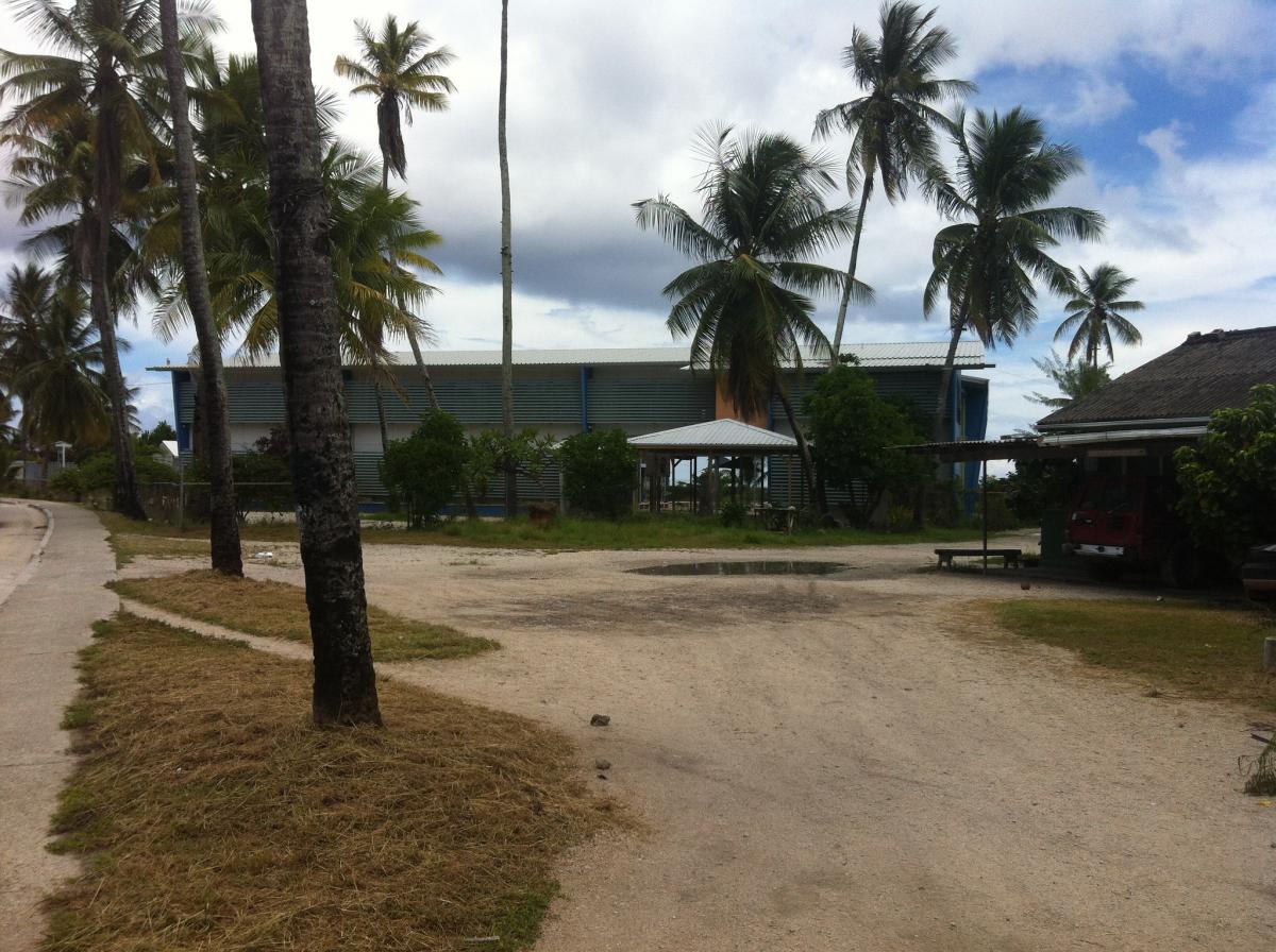
 Nauru. Author - Sean Kelleher.
Geography of Nauru
The island is located in the western Pacific Ocean at 0°32‘ south latitude and 166°55’ east longitude. It has an exclusive economic zone of 308,480 km² (together with territorial waters of 570 km²), bordering the belt of the Republic of Kiribati to the east (290 km to Banaba Island) and the Marshall Islands to the north (600 km to Ebon Atoll). In relative neighbourhood are Micronesia (Kosra) to the northwest, the Solomon Islands to the southwest, Papua New Guinea (Bismarck Islands) to the west and Tuvalu to the southeast.
Nauru is a coral island (atoll) located on top of an extinct underwater volcano. The coral here reaches 2000 metres deep into the sea and is a maximum of 60 metres above sea level. The island's highest point, Aivu, is located on the eastern side of the island. Compared to other atolls, Nauru has a very small lagoon. Already one kilometre from the coast, the depth of the sea exceeds 1000 metres. Inside the island there are phosphates formed from the excrement of seabirds. About 2 kilometres² of the island is covered with forests.
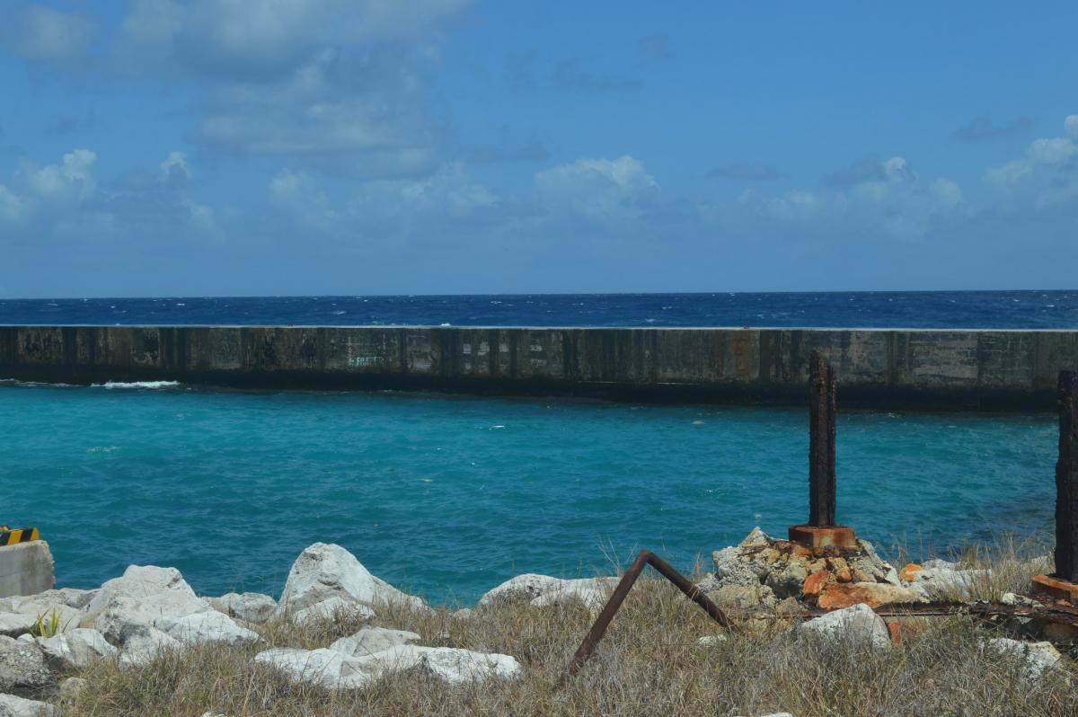
 Nauru. Author - RatherBeRooting.
Climate of Nauru
Due to the proximity of the equator (42 kilometres to the north), the temperature throughout the year on the island of Nauru is fairly uniform, averaging 27.5 °C (27.5 °F). The air here can warm up from 26 to 35 °C during the day and from 25 to 28 °C at night. Annual rainfall varies depending on the El Niño phenomenon, but averages around 1,900 mm.
Global warming has a direct impact on Nauru, as a sharp rise in sea level threatens the disappearance of the islands. Because of this problem, the government has repeatedly sought action from the UN, meetings with the USA and other industrialised countries.
Flora and fauna
Nauru has no large animals; with the exception of insects, there is only one species of bird, Acrocephalus rehsei, which is endemic. Cats, dogs and pigs imported from abroad are often seen on the island.
The flora of the island consists of coconut palms, pandanus, figs, hibiscus, etc. However, due to environmental degradation caused by mining, many species of flora have virtually disappeared.
In terms of the marine environment (especially the coral belt surrounding the island), the area used to be rich in molluscs and large arthropods. Today, the island's aquatic life is in danger of extinction, greatly influenced by urbanisation and phosphate exploitation.

